.jpg)
Now more than 60 years after D-Day, the Normandy coast is peaceful with lovely seaside towns and picturesque beaches. Behind the coast is an old-fashioned farming landscape of grain fields, cattle and pastures, hedges and farmhouses.
But the memories of war and D-Day are engrained in the landscape. Along the 50-mile D-Day invasion coast there are the remains of German gun emplacements and bunkers, while war memorials and monuments mark where the allied forces landed on the beaches. Inland, there are monuments in almost every village and at every bend in the road, for there is barely a square yard that wasn’t fought over. Beautiful cemeteries overlook the sea and countryside and are essential stops along the way to understand and reflect on the human cost of the war. Along the coast and inland there are numerous D-Day related museums. Only by visiting do you get a proper idea of the vastness of the enterprise.
 When you visit, “Take time to stroll on the beaches and through the villages and to drive country lanes that are once again regulated by rural rhythms, just as if they’d never been devastated at all. It’s pretty and poignant, and here’s a strange thing, it brings out the best in people. There’s respect in the air and a common bond between visitors. Folk behave well, smile and chat more easily than usual.” Anthony Peregrine, The Sunday Times.
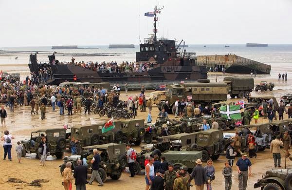
 An excellent time to visit is on the June 6th anniversary when there are numerous memorial ceremonies to mark the occasion. A large number of re-enactment groups attend, adding pageantry and atmosphere. The church bells ring in the towns to celebrate the anniversary of their liberation. The French people will be happy to see you - these people remember, and the welcome will be warm.
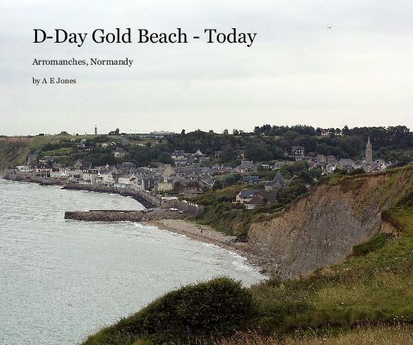
The following description of the beaches is organized in an "east to west" order, so that it can be used to organize a driving tour along the coast. The length of a tour depends on how many sites and museums a person decides to visits. Enthusiasts could spend several weeks, however a 2 or 3 day visit will suffice to cover a couple of museums and most of the major sites. A good starting point is to get an orientation on the area and history of D-Day at either the Memorial de Caen, Caen or Musée du Débarquement (The Landing Museum) in Arromanches, and from there set out to explore.
The beaches are still known today by their D-Day code names:
- Sword Beach
.jpg)
.jpg)
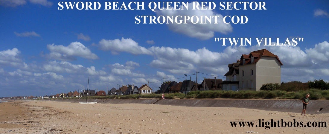
Sword beach, the most easterly of the five beaches, stretches from Ouistreham to Luc-sur-Mer. The British 3rd Infantry Division landed on the 2½-miles of beach between Ouistreham and Lion-sur-mer. The 41st Royal Marine Commando landed at Lion-sur-Mer, while the N°4 British Commando landed at Ouistreham. Integrated with the N°4 British Commando were 177 Frenchmen of the 1st Batallion of Fusiliers Marins Commandos who were granted the honor to set foot on Normandy soil in the first wave. On the eastern flank of Sword beach, the Sixth British Airborne had parachuted in the early morning hours of June 6th to seize bridges over the River Orne and Caen canal, silence gun batteries and secure the eastern flank of the D-Day beaches.
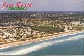
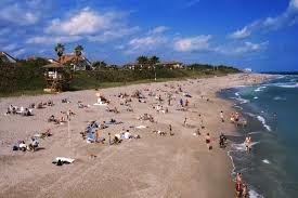
- Juno Beach
.jpg)
.jpg)
Juno beach is five miles wide and includes the towns of St. Aubin-sur-Mer, Bernières-sur-Mer and Courseulles-sur-Mer. On D-Day the coastline had been fortified by the occupying Germans and bristled with guns, concrete emplacements, pillboxes, fields of barbed wire and mines. The 3rd Canadian Infantry Division reinforced by the 2nd Canadian Armoured Brigade landed in two brigade groups and fought their way across the beaches and into the towns. The No. 48 Royal Marine Commando secured the left flank at Langrune-sur-Mer. The opposition the Canadians faced was stronger than that of any other beach save Omaha.
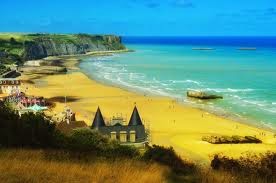
- Gold Beach
.jpg)
.jpg)
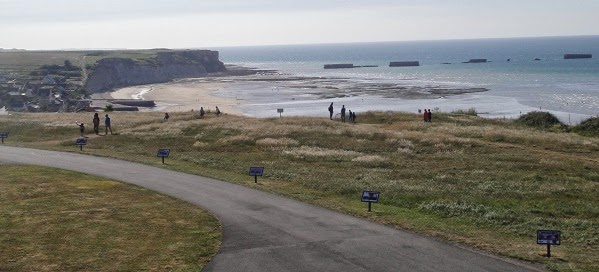
Gold beach is more than 5 miles wide and includes the towns of La Rivière, Le Hamel and Arromanches. The British 50th Infantry Division reinforced by the British 8th Armoured Brigade landed in two brigade groups at Gold beach. 47th Royal Marine Commando landed due to land on the western flank with the objective to take Port-en-Bessin was redirected towards La Riviere losing 20% of their strength on the way in. They then travelled 12 miles through enemy held territory, a marked Battlefield Walk, to Commes before attacking Port-en-Bessin on 7th June.
- Omaha Beach
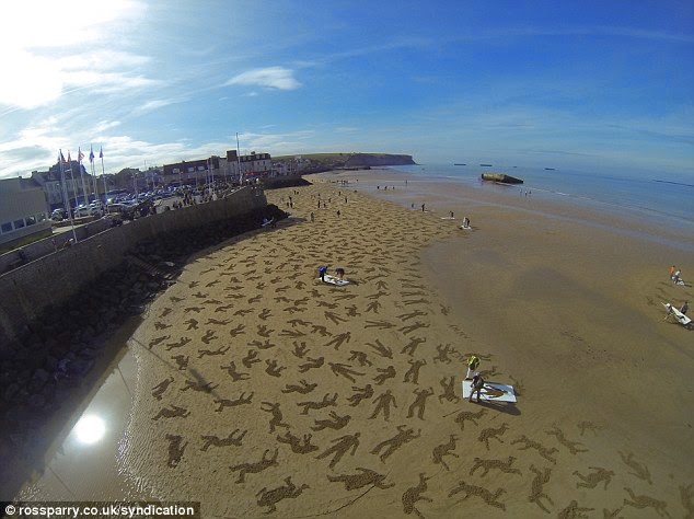.jpg)
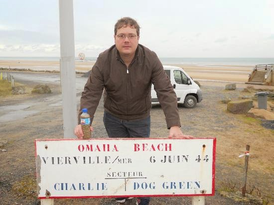.jpg)
Omaha beach is overlooked by bluffs which rise to 150 feet and command the beaches. These naturally strong defensive positions had been skillfully fortified by the Germans with concrete gun emplacements, anti-tank guns and machine guns. Allied bombing left these largely undamaged, and since there was no cover on the beach, this tranquil strand of beach became a killing field. The US 29th Infantry Division had the most difficult landing of the whole Allied assault on D-Day. Within a mile to the rear of the beach lay the fortified villages of Colleville-sur-Mer, Saint-Laurent-sur-Mer and Vierville-sur-Mer
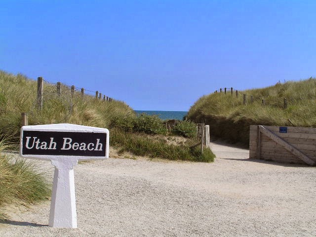
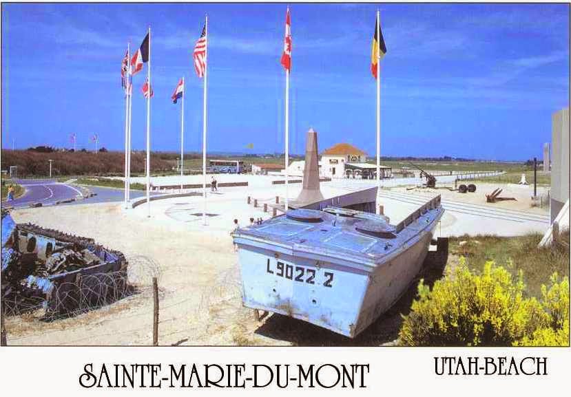
- Utah Beach
.jpg)
.jpg)
Utah beach, the most westerly of the five beaches, was attacked by the US 4th Infantry Division. By mistake the landings all took place on the southern part of the beach which happened to be less well defended. Airborne troops landed through the night to secure the invasion’s western flank and to open the roads for their colleagues landing by sea at dawn. The objective was to cut the Cotentin Peninsula in two, and take Cherbourg.
No comments :
Post a Comment